Image Interpretation
Image distortions explained
SAR satellites capture images from an angle, not directly overhead. This side-looking approach can make the landscape, including hills and buildings, appear distorted. Objects might look squished, enlarged, or even hidden, altering the appearance of the Earth's surface in unexpected ways. This perspective is unique to SAR imaging, contrasting with the direct, top-down view seen in optical satellite imagery.
This can mean that interpreting these images isn't straightforward and complex distortions such as layover and shadowing can require specialized knowledge to accurately understand and analyze the data.
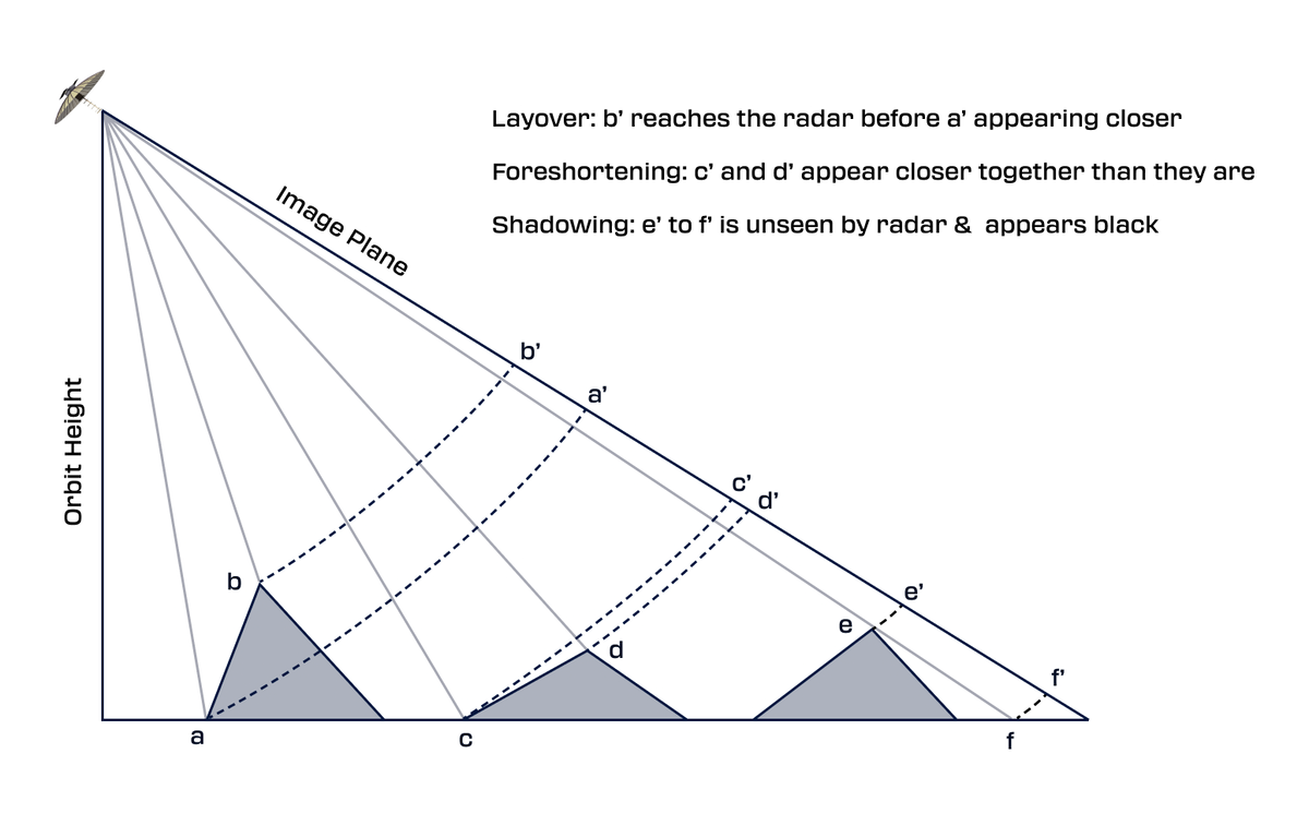
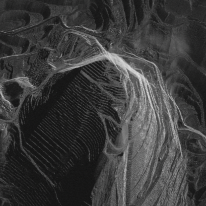
Layover
Layover in SAR imagery is a distortion where taller features appear to lean over their base towards the radar. This effect causes higher elevation points to appear closer to the sensor than lower ones, making mountain peaks seem to "lean over" towards the radar. Essentially, signals from elevated features arrive earlier than those from lower areas, creating an overlay in the image. Layover effects are typically pronounced in SAR imagery, appearing brighter than surrounding features.
This phenomenon intensifies in urban settings where signals from the ground, building facades, and roofs might merge, often making layover areas appear unusually bright due to combined backscatter signals. Layover is more prevalent closer to the radar.
Layover
Foreshortening
Foreshortening can be thought of as a less extreme version of Layover. In foreshortening, the terrain or object is tilted toward the radar but not so much that the top of the object is imaged over the bottom. The radar still distinguishes between the top and bottom, but they appear closer together than they actually are.
Shadowing
Shadow distortion occurs when the radar beam is unable to illuminate areas obstructed by tall features like mountains or building. This leads to no radar signal and can make parts of your imagery appear dark. Note that in the radar images, shadowing is always away from the sensor and is not dependent on the time of data acquisition or the sun angle in the sky.
Shadowing
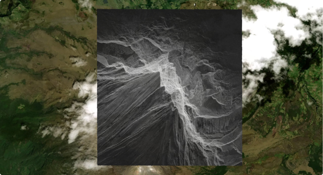
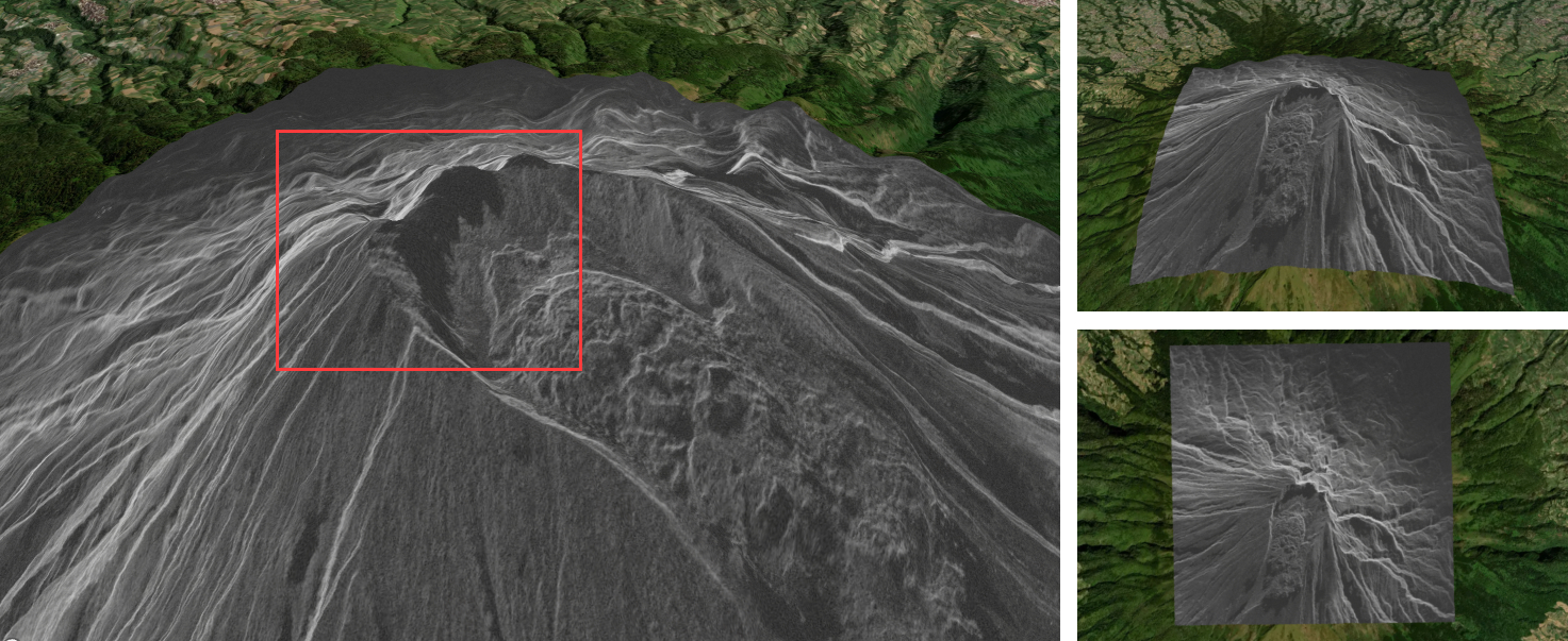
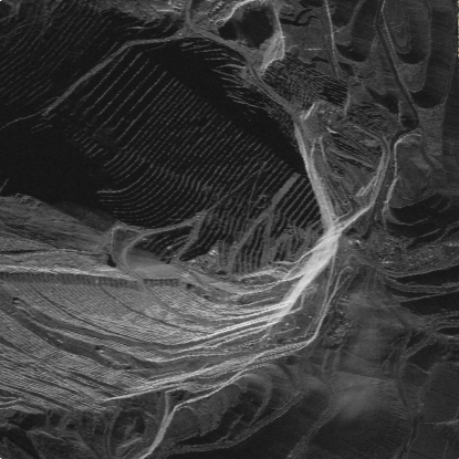
Interpreting data shadows down
Presenting images with 'shadows down' is preferred because it helps mitigate the visual illusions caused by shadows in the imagery and helps scene appear natural. Shadows can often complicate image interpretation by creating misleading perceptions of the terrain. For example, shadows cast in one direction might make a depression, such as an open pit mine, appear as a protrusion, like a mound or mountain, and vice versa. Adjusting the image to ensure shadows fall downwards smoothens out these illusions, making the terrain easier to understand and analyze accurately.
Bingham open pit mine - Shadows down prevents illusions
Bingham open pit mine - shadows north make the mine look elevated.
Updated 10 months ago